The Sivas Gypsum Karst - Implications for Routing, Construction and Operation of the Trans Anatolian Natural Gas Pipeline

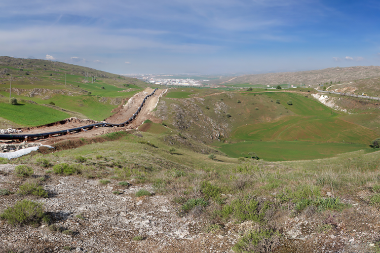
The TANAP route runs 92 km through one of the world´s largest gypsum karst terrains, covering an area of 2140km² (Günay 2002; Doğan & Yeşilyurt 2019) located in the Turkish Province of Sivas. A fantastic place for the geologist but a big challenge for the routing and construction of a pipeline.
Based on the morphology a karst classification, comprising of 5 karst types, was set up. The development of a genetic karst model enabled the assignment of specific hazards to each of the identified karst types. These hazards comprise of collapse dolines, subsidence sinkholes, internal erosion and pinnacled bedrock. Each karst type required a specific risk mitigation depending on type and severity of the hazard, to be considered either by routing or by applying technical measures.
Construction finally proofed that the karst model was correct. This was also underlined by the discovery of a large cave on the right of way during grading works within one of two short route sections with a predicted high risk of large cavities. Detailed ground investigations were necessary to assess the irregular shape of the cave and to move the alignment to safe ground.
Experience from BTC and Nabucco Projects which also cross this gypsum karst area on different routes were highly beneficial for the successful completion of the task.

